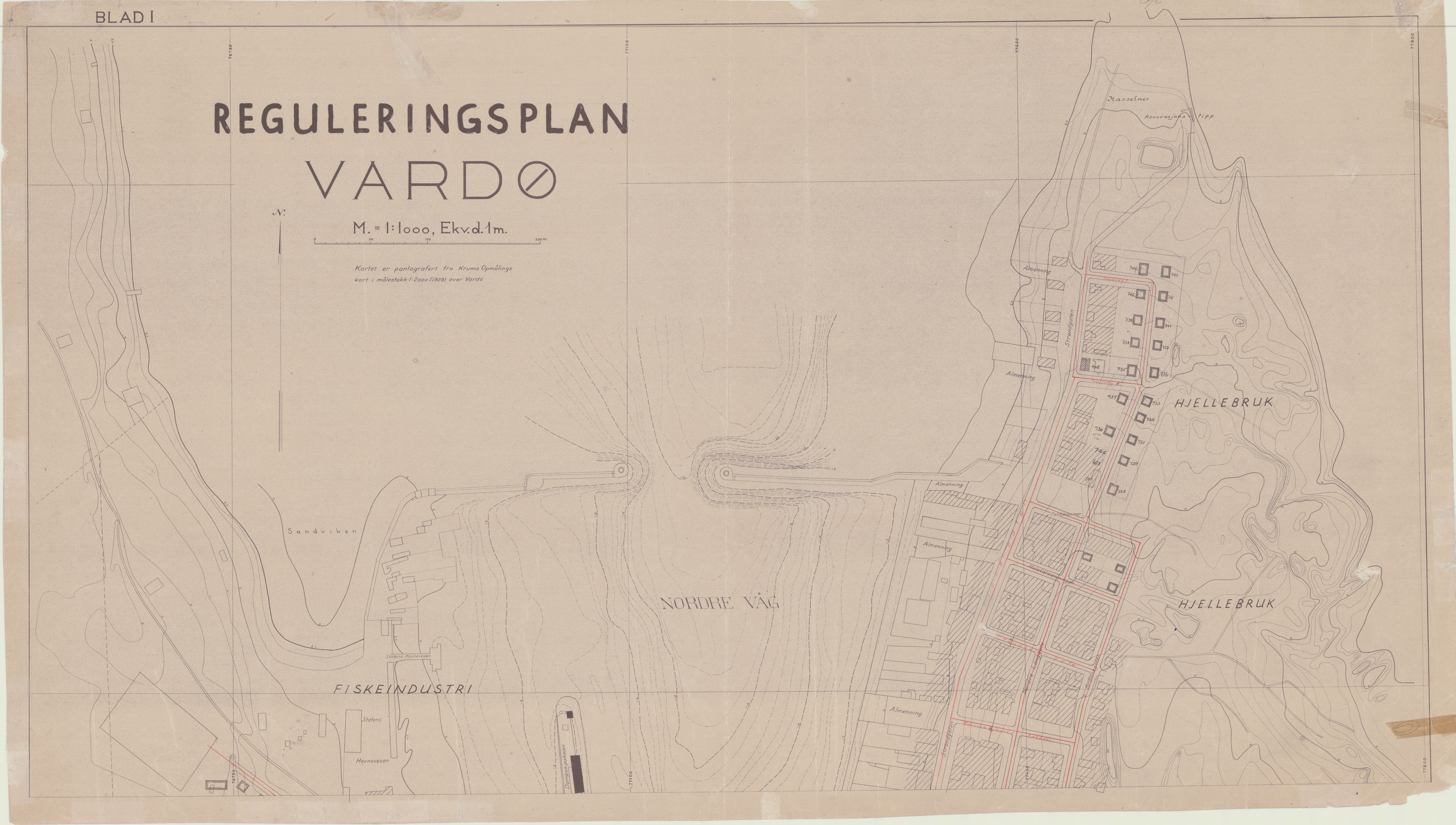
Pantografert kart fra Krums oppmålingskart over Vardø (1929) / Reguleringsplan 1945 / Blad 1-3, Astaref: VAMU/-
Source information

-: Vardø kommune / Teknisk Næring Plan og Kultur
Maps no. - /1945 - 1946 - Vardø kommune er eier av kilden. Varanger museum er gitt tillatelse til digitalisering og publisering. Land register Maps and diagrams Property Surveying Artic Municiple archives Municipal disaster management plans and regulatory measures Legislation, Law Houses and buildings
User settings
You have to be logged in to send feedback.
